 |
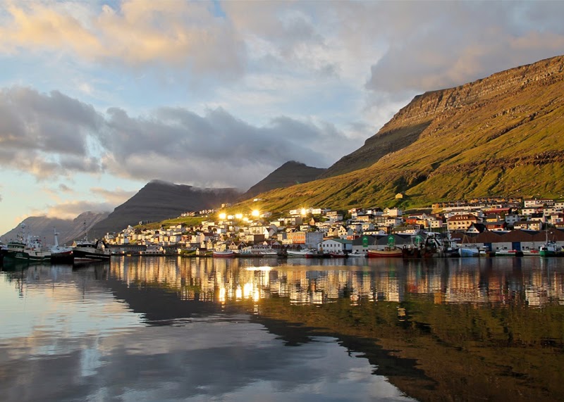
| Stunning Images - Faroe Islands |
The Faroe Islands are located in the North Atlantic Ocean at 62º latitude North and 7º longitude West, approximately 430 kilometres south-east of Iceland, 600 kilometres west of Norway and 300 kilometres north-west from Scotland. The distance from Copenhagen to the Faroe Islands is approximately 1,300 kilometres. The Faroe Islands comprise 18 islands, separated by narrow sounds or fjords. The total area is 1,399 sq.km. The largest island is Streymoy (375.5 sq.km) with the capital, Tórshavn. The overall length of the archipelago north-south is 113 kilometres, and 75 kilometres east-west. The islands’ highest point "Slættaratindur" is 882 metres. On average the land is over 300 metres above sea level. The total coast line is 1,289 kilometres and at no time are you more than 5 kilometres (3 miles) from the ocean.
According to stories passed down for generations the Irish abbot St. Brendan in AD 565 went in search of The Promised Land of the Saints. One of the stories told of a visit to "The Islands of the Sheep and the Paradise of Birds" situated several days' sailing distance from Scotland. Based on this story and archaeology excavations there is good reason to believe that Irish monks were the first settlers in the Faroe Islands.
 |
| Stunning Images - Faroe Islands |
In the 9th century Norse settlers came to the Faroe Islands. These were mainy farmers who fleed from Norway and ended up in the Faroe Islands in search of new land. The special constitutional status of the islands was originally founded on the ancient viking tradition from the 9th century AD (all free men convened at the Althing, later called Løgting, in the capital Tórshavn). From the latter half of the 12th century on - when attached to the medieval Norwegian Kingdom - they further developed their own culture, language and other social institutions, while at the same time adapting constitutionally to the surrounding political contexts of coming and going empires reaching out from the Scandinavian heartlands.
Little is known about Faroese history up until the 14th century. The main historical source for this period is the 13th century work Færeyinga Saga (Saga of the Faroese). Norway and Denmark joined in a double monarchy in the late 14th century. When Norway in 1814 was cessioned to the King of Sweden, Norway's western most territories, among them the Faroe Islands, remained under the sovereignty of the Danish Monarch. Not least due to the large geographical distance to Norway and Denmark, the Faroe Islands always maintained a special jurisdiction along with their distinct language and culture, guarded by the ancient Løgting. Since the split from Norway, the Faroe Islands have accommodated to, but not fully integrated into, the modern state of Denmark.
 |
| Stunning Images - Faroe Islands |
In 1816 the Løgting (the Faroese Parliament) was officially abolished and replaced by a Danish judiciary. Danish was introduced as the main language, whilst Faroese was discouraged. In 1849 a new constitution came into power in Denmark. This new constitution was announced in the Faroe Islands in 1850, giving the Faroese two seats in the Rigsdag (Danish Parliament). However, the Faroese managed to re-establish the Løgting as a county council with an advisory role in 1852, with many people hoping to eventually achieve independence.
The late 1800s saw increasing support for the home rule/independence movement, though not all people supported it. Meanwhile, the Faroese economy was growing with the introduction of large-scale fishing. The Faroese were allowed access to the large Danish waters in the North Atlantic. Living standards subsequently improved and there was a population increase. Faroese became a standardised written language in 1890.


0 comments:
Post a Comment